Is your postcode at risk of subsidence? Free online tool claims to tell you the answer
A free online tool tells you the risk your home could have for subsidence, and we look at how it works

Bring your dream home to life with expert advice, how to guides and design inspiration. Sign up for our newsletter and get two free tickets to a Homebuilding & Renovating Show near you.
You are now subscribed
Your newsletter sign-up was successful
Subsidence may be an invisible threat, but for thousands of UK homeowners, its consequences are anything but.
As shifting climate patterns drive more frequent periods of extreme heat and low rainfall, engineers and insurers are warning of increased ground movement in certain areas.
In response to growing demand for localised risk data, a new online tool has been launched to help homeowners better understand whether their postcode falls into a higher-risk zone for subsidence-related damage.
Regional exposure grows as weather extremes continue
Subsidence occurs when soil beneath a property loses moisture and contracts, often affecting homes built on clay.
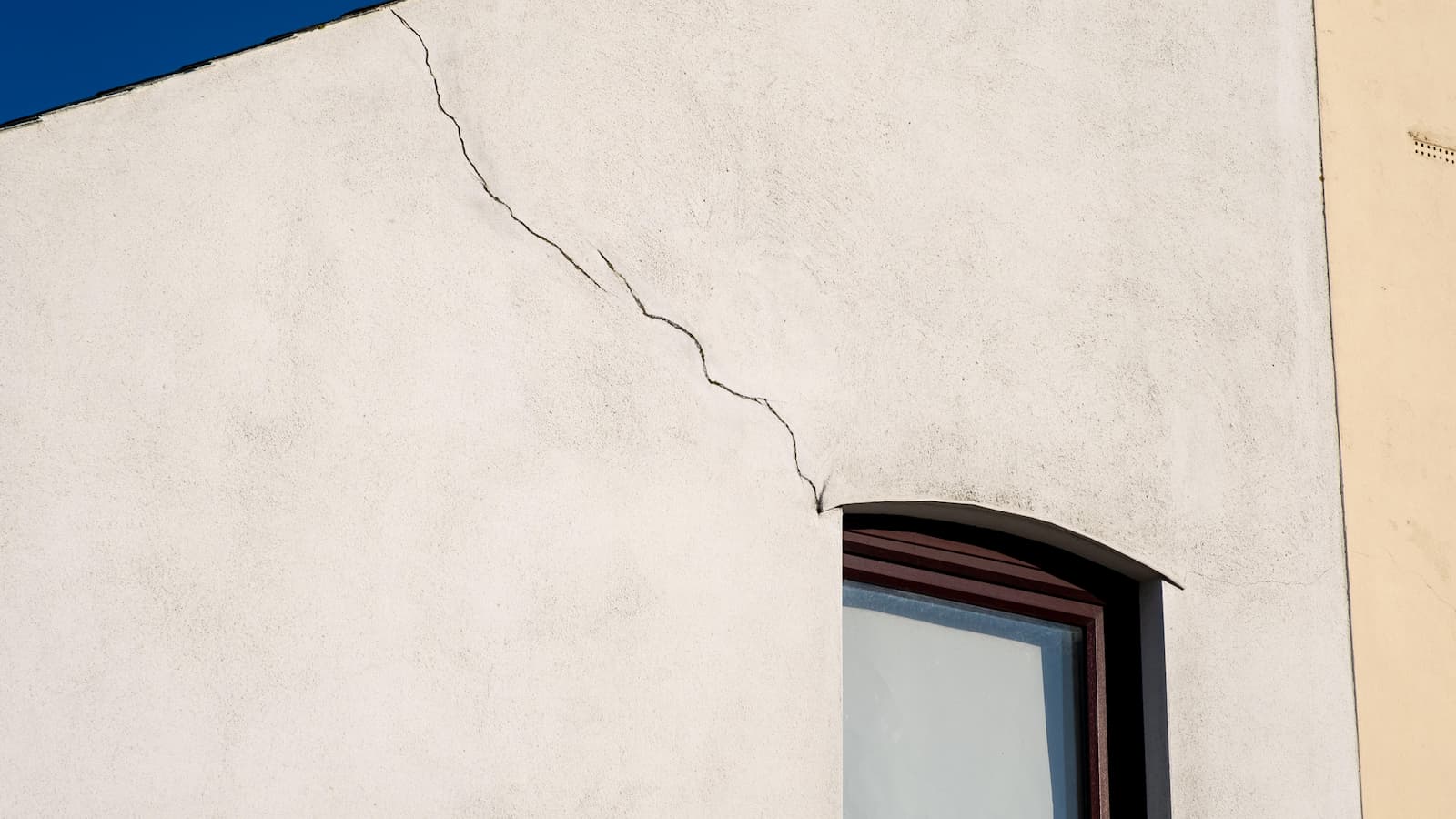
When this happens, structures can shift unevenly, resulting in cracking walls, misaligned doors, and in severe cases, significant structural instability.
This year, conditions across much of the UK are showing similar patterns to those seen in 2022 - a recognised “surge year,” when subsidence cases rose sharply during the second half of the year.
According to the Association of British Insurers (ABI), more than 23,000 valid claims were submitted in that period, with total costs to insurers estimated at £219 million.
Bring your dream home to life with expert advice, how to guides and design inspiration. Sign up for our newsletter and get two free tickets to a Homebuilding & Renovating Show near you.
Early signs in 2025 are causing concern among climate analysts and loss adjusters. The Met Office has reported below-average rainfall, above-average temperatures, and three heatwaves by mid-summer.
Soil moisture readings in parts of southern and eastern England are significantly lower than seasonal norms, increasing the risk of shrink-swell soil behaviour, a known subsidence trigger.
Risk levels vary by postcode

Subsidence risk in the UK is not evenly distributed. According to soil data, areas built on highly shrinkable clay, such as parts of London, Surrey, Hertfordshire, and Leicestershire, are more vulnerable during dry periods.
Tree proximity, especially to large, mature trees, also increases risk by accelerating moisture loss in nearby soils.
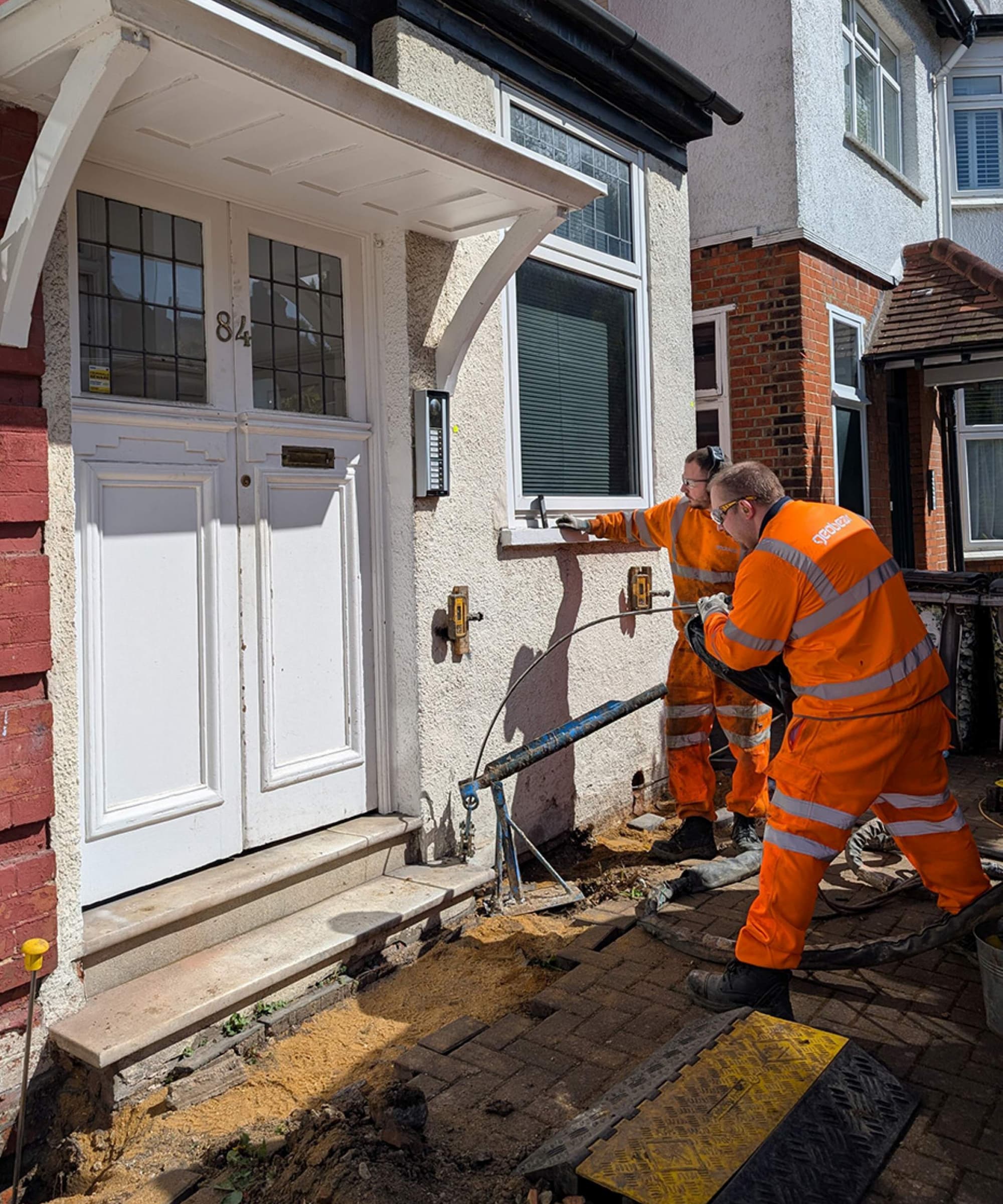
To help clarify this regional variation, the engineering firm Geobear has released a free postcode-based subsidence risk tool. It uses three core data sets:
- National soil texture mapping to identify clay-rich areas,
- A database of 20,000+ historical subsidence cases, and
- User input on nearby tree presence.
Each postcode district is scored and classified into low, moderate, high, or very high risk categories. While the tool does not assess individual homes or foundations, it offers a first-level indicator for those looking to understand general exposure or take early preventative action.
The postcode analysis highlights sharp contrasts. For example:
- Certain North London districts (e.g. N20, N11) show high case density and clay soils.
- Regions such as Cumbria and Gwynedd, with more stable geology and lower reported cases, are typically classified as low risk.
This tool can help those looking at buying a house and help buyers make informed choices when buying a house with subsidence.
Long-term consequences for property owners
Subsidence can result in significant repair costs, extended disruption, and in some cases, long-term impact on a property's value or insurability.
According to ABI guidance, repairs typically range from £10,000 to £50,000, and claims can take months to investigate and resolve.
Once a home has had confirmed subsidence, that history usually must be disclosed during future sales - even if repairs have been completed. Some buyers may be deterred by the potential for recurrence, and insurers may apply higher premiums or exclusions.
In high-risk areas, surveyors and property lawyers are increasingly advising buyers to request soil type and condition reports or specialist structural assessments, particularly if houses are built near trees or visible cracking is present.
While the new postcode tool cannot replace professional evaluation, it may serve as a starting point for further investigation, especially for those planning renovations, applying for insurance, or considering a home purchase in vulnerable areas.

News Editor Joseph has previously written for Today’s Media and Chambers & Partners, focusing on news for conveyancers and industry professionals. Joseph has just started his own self build project, building his own home on his family’s farm with planning permission for a timber frame, three-bedroom house in a one-acre field. The foundation work has already begun and he hopes to have the home built in the next year. Prior to this he renovated his family's home as well as doing several DIY projects, including installing a shower, building sheds, and livestock fences and shelters for the farm’s animals. Outside of homebuilding, Joseph loves rugby and has written for Rugby World, the world’s largest rugby magazine.
